Your field notebook,
on the map.
The Lantmäteriet topographic map with a notebook layered on top — mark points, trace routes, save areas and photos, then take it all offline. The same notebook on iPhone and in your browser.
Everything a paper map can't do
The detail of the national topographic map, with a notebook layered on top.
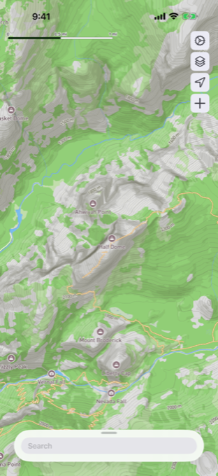
Sweden's best topo map
Lantmäteriet topography — trails, contours, waterways and terrain, down to the last stream.
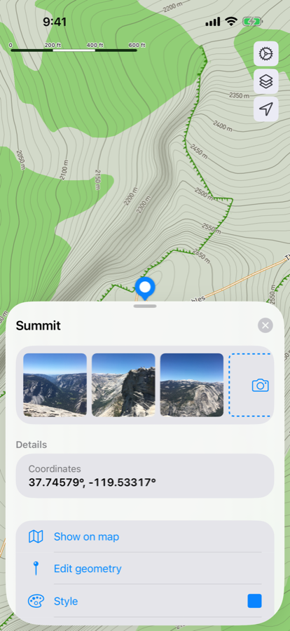
Notes that stick to the land
Save points, lines and areas with photos, coordinates and your own colours and styling.
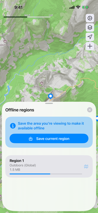
The whole map, offline
Download regions before you leave. The map stays with you past the last bar of signal.
Bring any route into your adventure
Drop in a GPX track — Kungsleden, a planned tour, a friend's trail — and it lands on the map alongside your own notes, ready to follow offline.
Learn about routes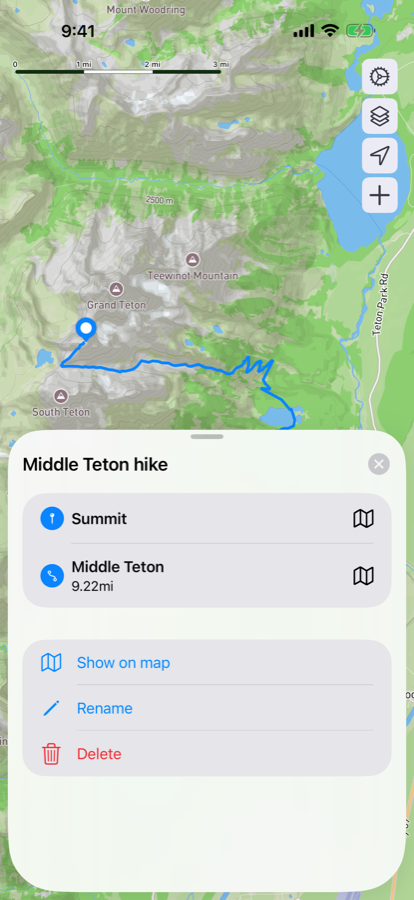
From open map to offline notebook
Open the map
Pan to your area on the Swedish topographic map — no account needed to start.
Mark what matters
Tap to drop a point, draw a route or area, snap a photo — everything keeps its coordinates.
Take it offline
Save the region and your notebook comes with you — full detail, zero signal required.
Unlock sync, offline maps and more
Kartboken Pro keeps your fieldwork with you everywhere — the same notebook on iPhone, iPad, Mac and the web.
Sync between devices
Keep your notes in sync across iPhone, iPad, Mac and the web. Start planning on the sofa, continue in the tent.
Offline maps
Save offline regions so Kartboken works even when your signal doesn't — perfect for hikes, cabins and no-coverage zones.
Unlimited collections
Organize your notes into as many collections as you like. Work, hikes, secret mushroom spots — one for every need.